


Buji River
An urban watershed
The Buji River is running through Shenzhen’s oldest district, called Luohu. Over the course of time, the Buji River has transformed from a natural stream into a constrained urban drainage canal facing severe water quality challenges. Moreover the river has to cope with increasing climate extremes like prolonged periods of drought as well as extreme rainfall events.
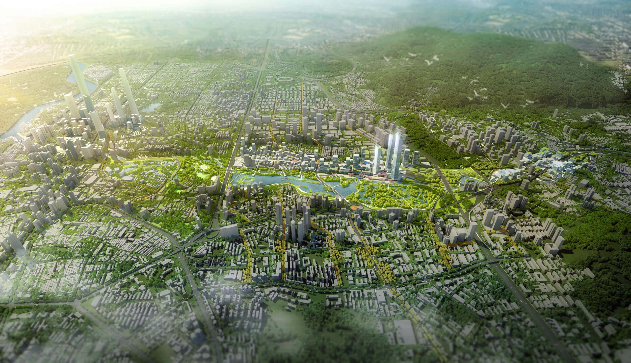
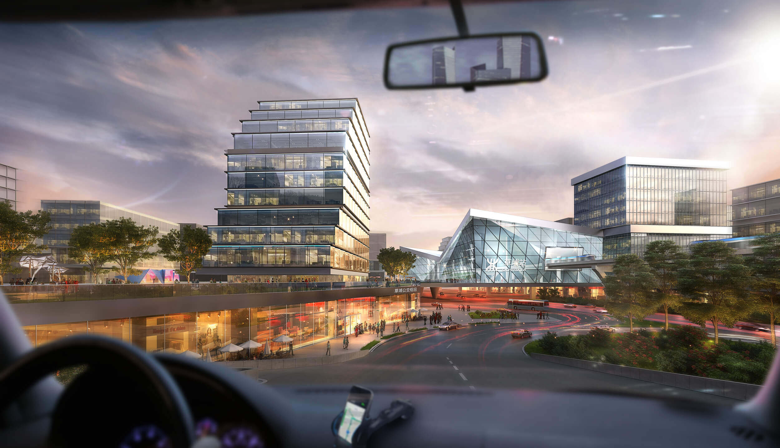
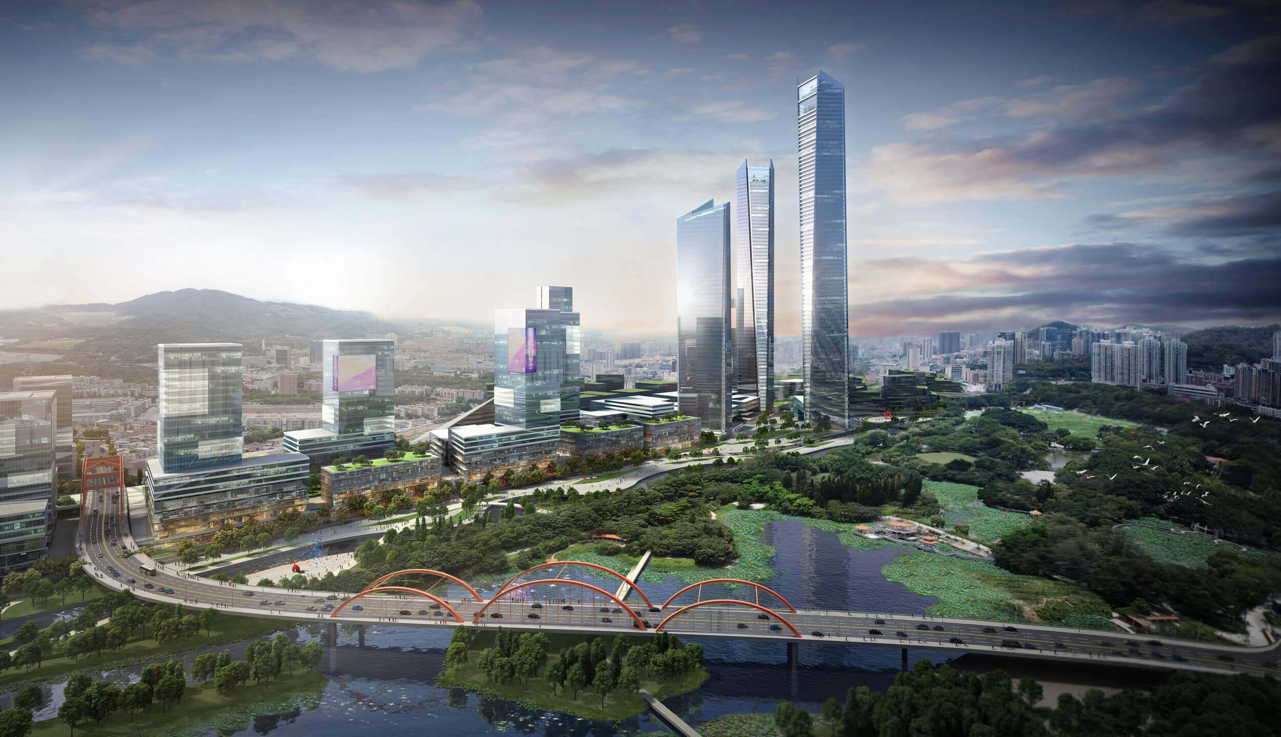
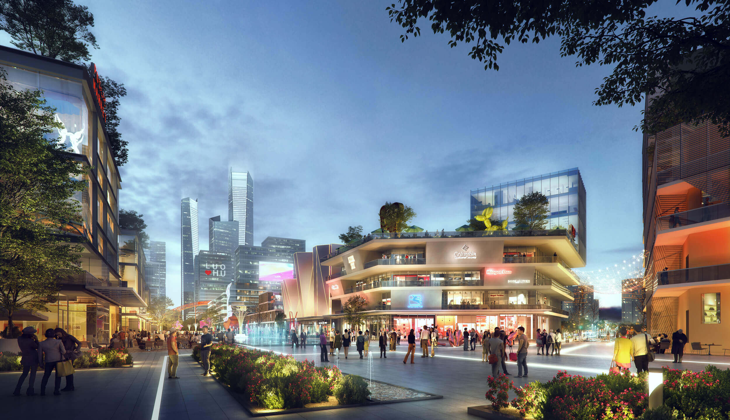
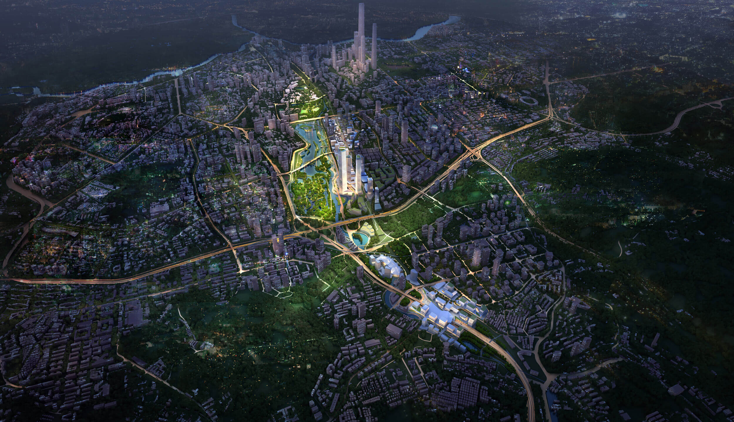
The Luohu government is using strategic investments into transport and open space networks to boost the district’s urban quality. Strategies to improve the water quality and management are unified with the transformation of existing urban quarters and redevelopment of industrial plots. This offers an integrated roadmap towards a genuine shared identity for Luohu district.

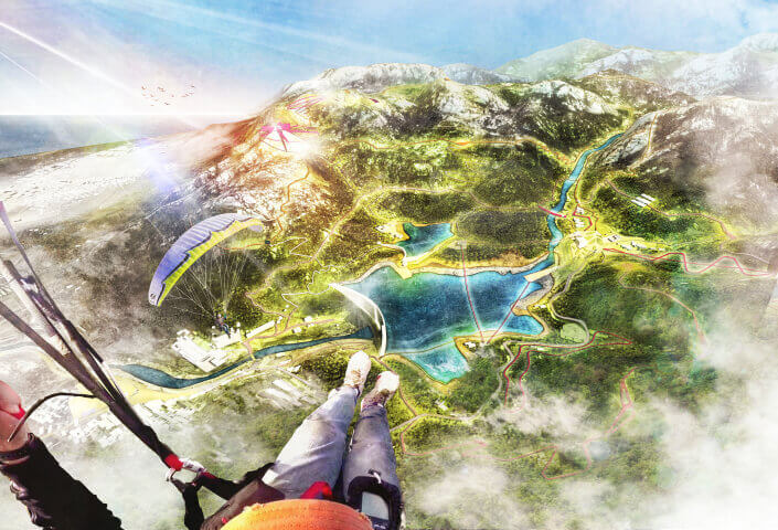
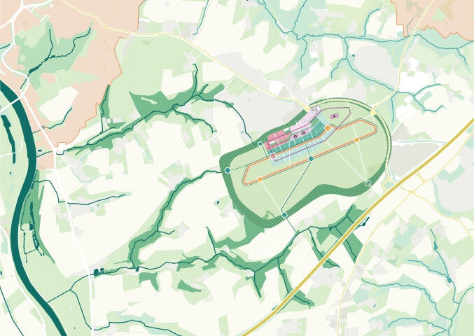
To turn the river back into a driver of spatial quality, we propose a strategy that transforms Buji River as a constrained drainage canal into a functioning urban watershed. Being located in a dense urban fabric with high socioeconomic value, Buji River cannot be simply restored to its original state. Instead, a number of small scale interventions have to be applied to gradually increase its water quality, discharge its capacity but most of all increase its position as a high quality urban resource that radiates over the complete area.

CURRENT
In the current water system wastewater and storm water are partly combined. Different types of pollution are directly drained to the Buji River: river water, surface drainage, sewage systems, industrial waste water and storm water.
SEPARATED SYSTEMS
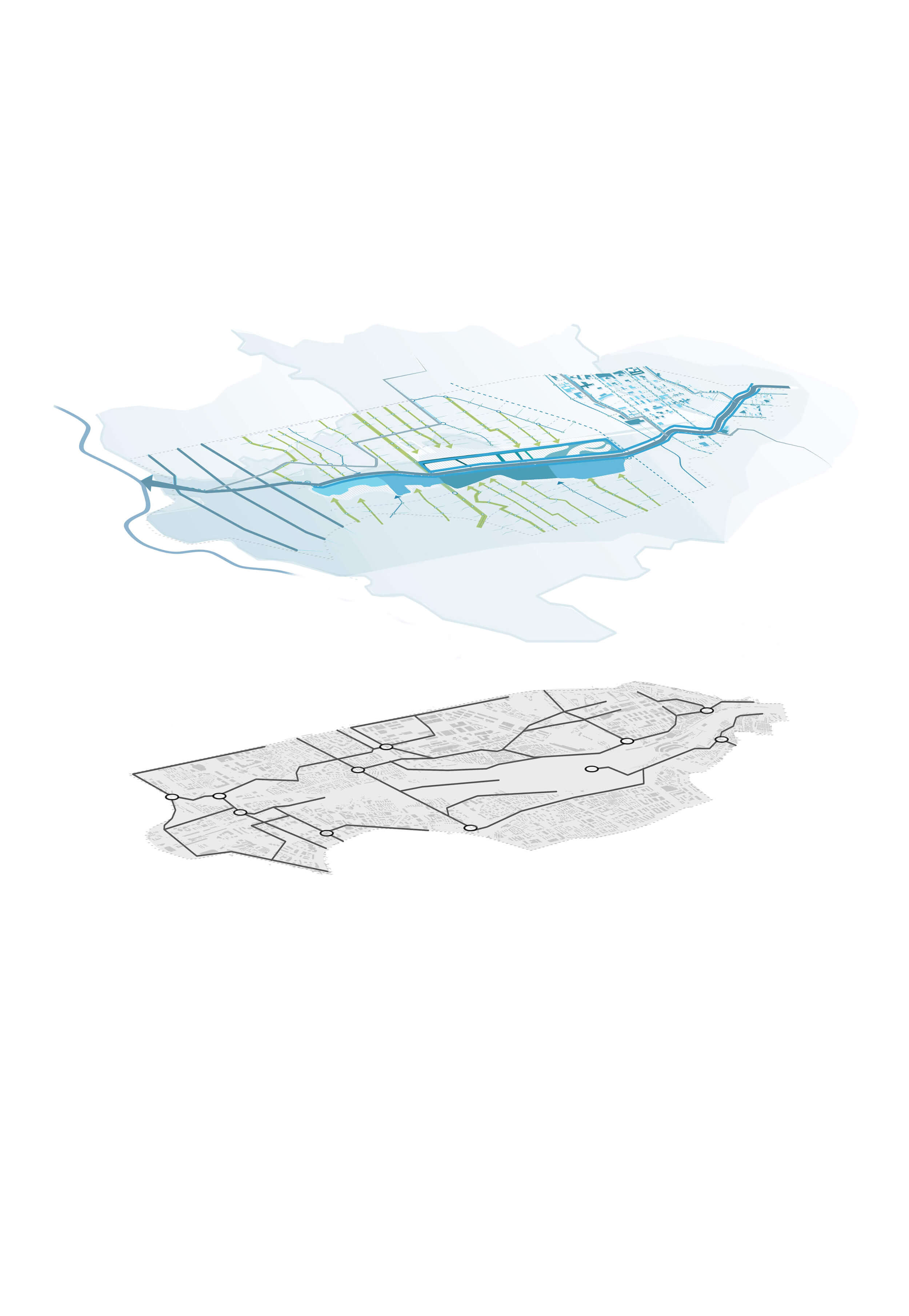
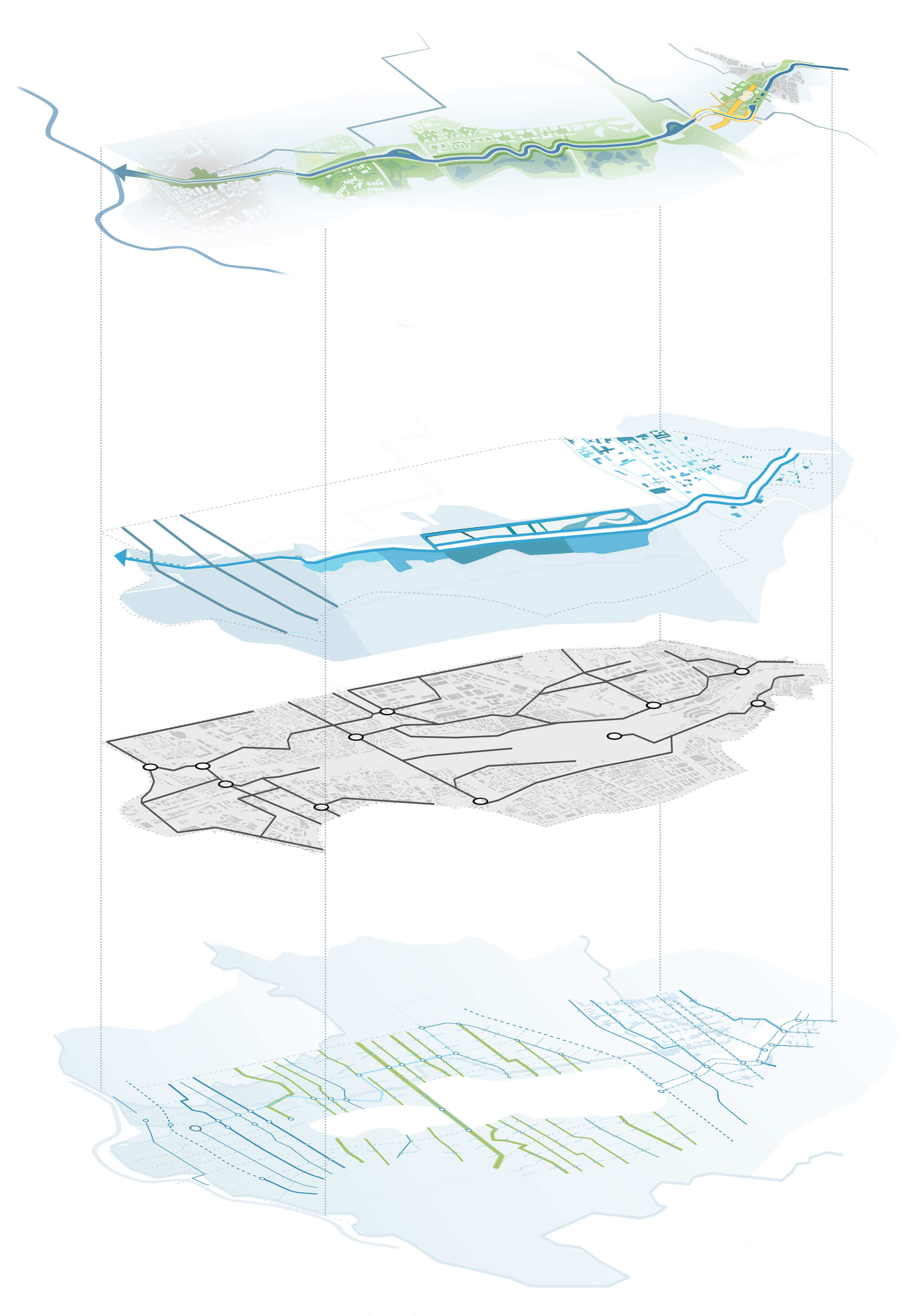
To establish a healthy urban watershed, the different water systems are (temporarily) separated into 3 spatial structures: the Riverfront, the Riverbed and the River basin. The advantage of this approach is control. By operating the different water systems independently, a staged and tailored approach can be exploited to revitalize them. When up to standard, they can be merged into an integrated system.
INTEGRATED SYSTEM
When the waste water network is exploited to the fullest, the main pollution of the Buji River is gone, and all surface water systems can be reconnected into an integrated system.
slider


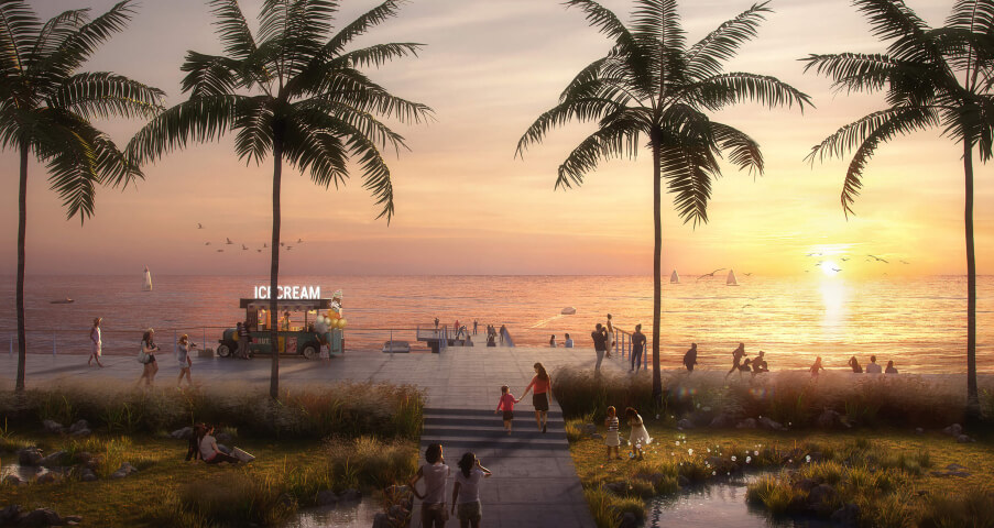
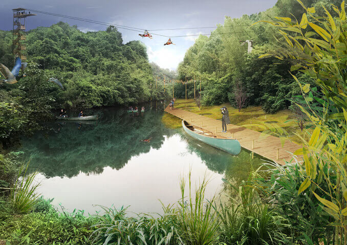
Riverfront – sequence of rivers
The main challenge of the river is dealing with the large variability of water levels. The river gets a diversified sequence of sections, incorporating measures to deal with this variability in a way that responds to the surroundings.


Riverbed - second river
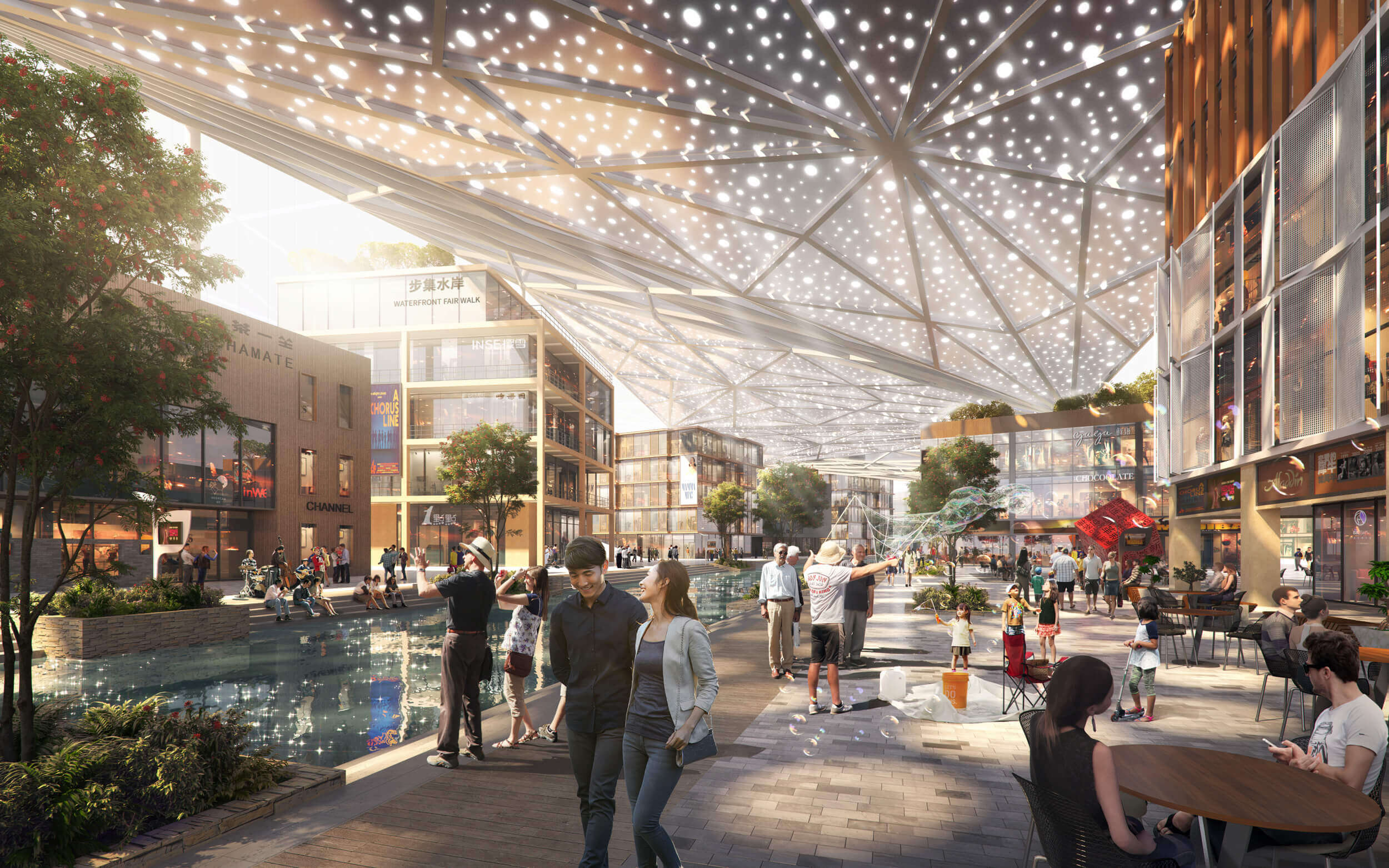
To make the river a driver for spatial quality, the water quality has to be improved. Therefore we introduce a second water system that separates rainwater from the current River in the Buji Basin. The new ´river´ is an interconnected network of diverse spaces, turning the area into 3 distinct zones/environments:
- Small squares and parks are integrated to store and infiltrate water in the upper catchment area
- Existing (and new) open landscapes in the middle section are connected, and turned into water retention and purification facilities
- The river canal is widened and streets are turned into amphibious boulevards to drain the rainwater as fast as possible in the southern part


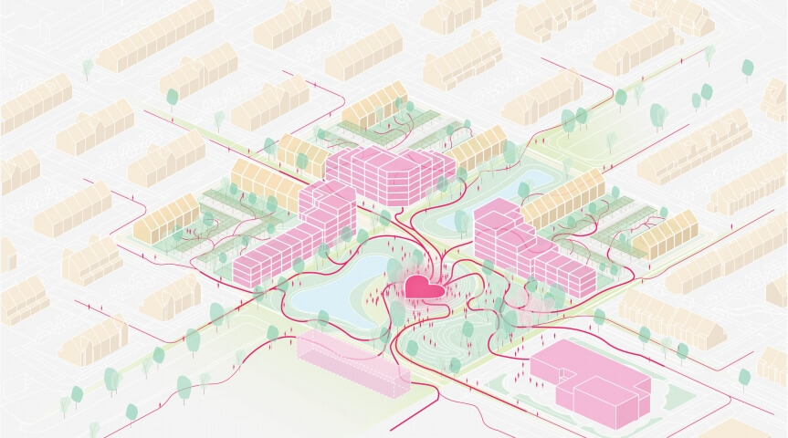
Riverbasin - Green-blue network
The infrastructure leading towards the Buji River is transformed into a green-blue network.
- The upper catchment area integrates open and underground canals, increasing collection and (temporary) storage capacity
- The central catchment area integrates wadi’s to delay water discharge to the river
- The lower catchment area integrates amphibious streets to drain water as fast as possible to the river


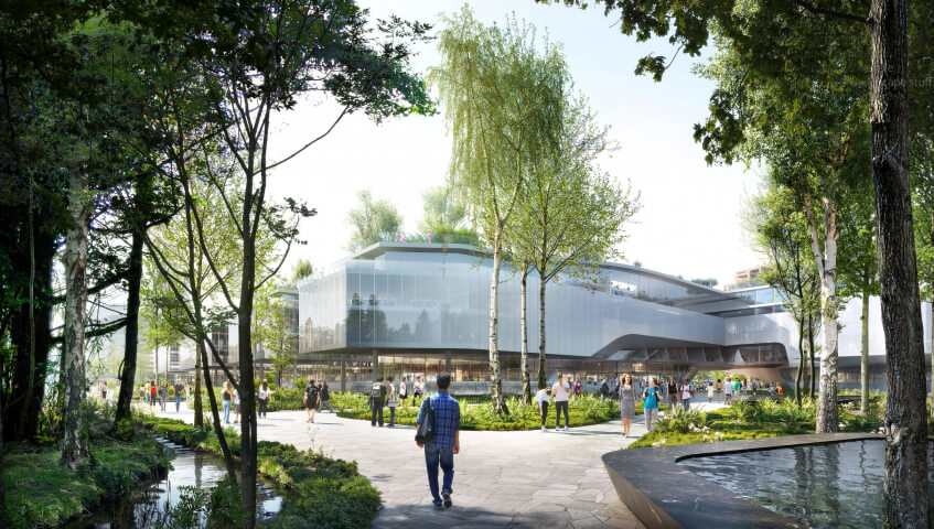
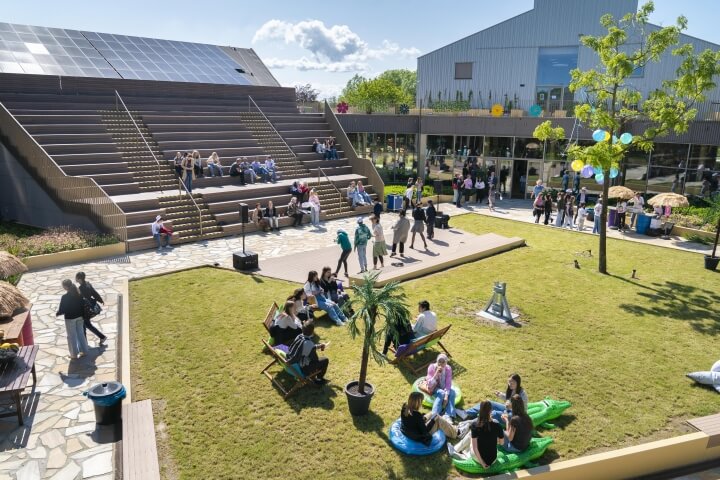
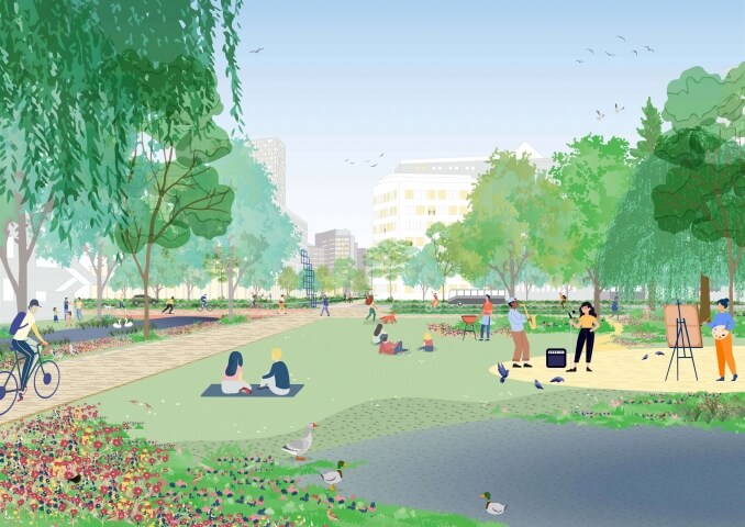
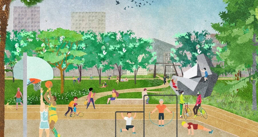
The integrated landscape framework generates a diverse public realm. Different networks connect facilities and services. Within 30 minutes, a diversity of landscapes are accessible: mountains, rivers, lakes and gardens. These landscape are surrounded by clearly identified neighborhoods offering diverse urban environments. Within 15 minutes, you can shift from a highly dynamic environment on the new plaza, to a quiet and natural environment in the park. Both are loaded with associated programs. Within 5 minutes, a diversity of recreational, sports, commercial and private spaces is within reach. This allows for a generous environment to live and work in.


Year
2018
Location
Shenzen, China
Type
Masterplan, Infrastructure
Client
People’s Government of Luohu District, Shenzhen
Size
560 ha
Awards
2018 Competition 3rd prize
Team & partners
Michiel Van Driessche
Deborah Lambert
Marnix Vink
Fangfei Liu
Zofia Krzykawska
Fanny Genti
Ilva Mishtaku
Klaudio Ruci
Mariya Protsyk
Steven Broekhof
Thiemo Tippmann
MLA+
IHE Delft Institute for Water Education