Strategic Plan Shkodra
Multifunctional Waterscapes
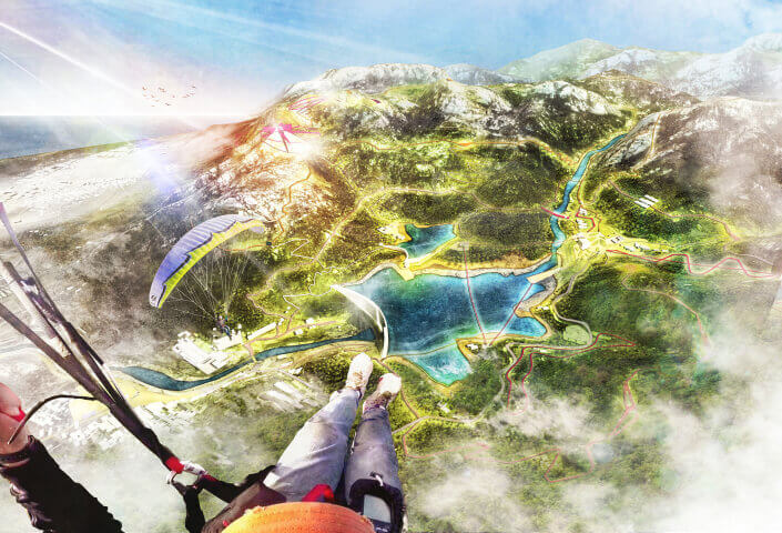
Shkodra is a city in the North of Albania, close to the border of Montenegro. It is located at the edge of the Skadar lake, where the rivers Drini and Buna meet. At high tide the Drini flows so fast, that the Skadar lake and Buna are almost closed off, causing flooding in the city.

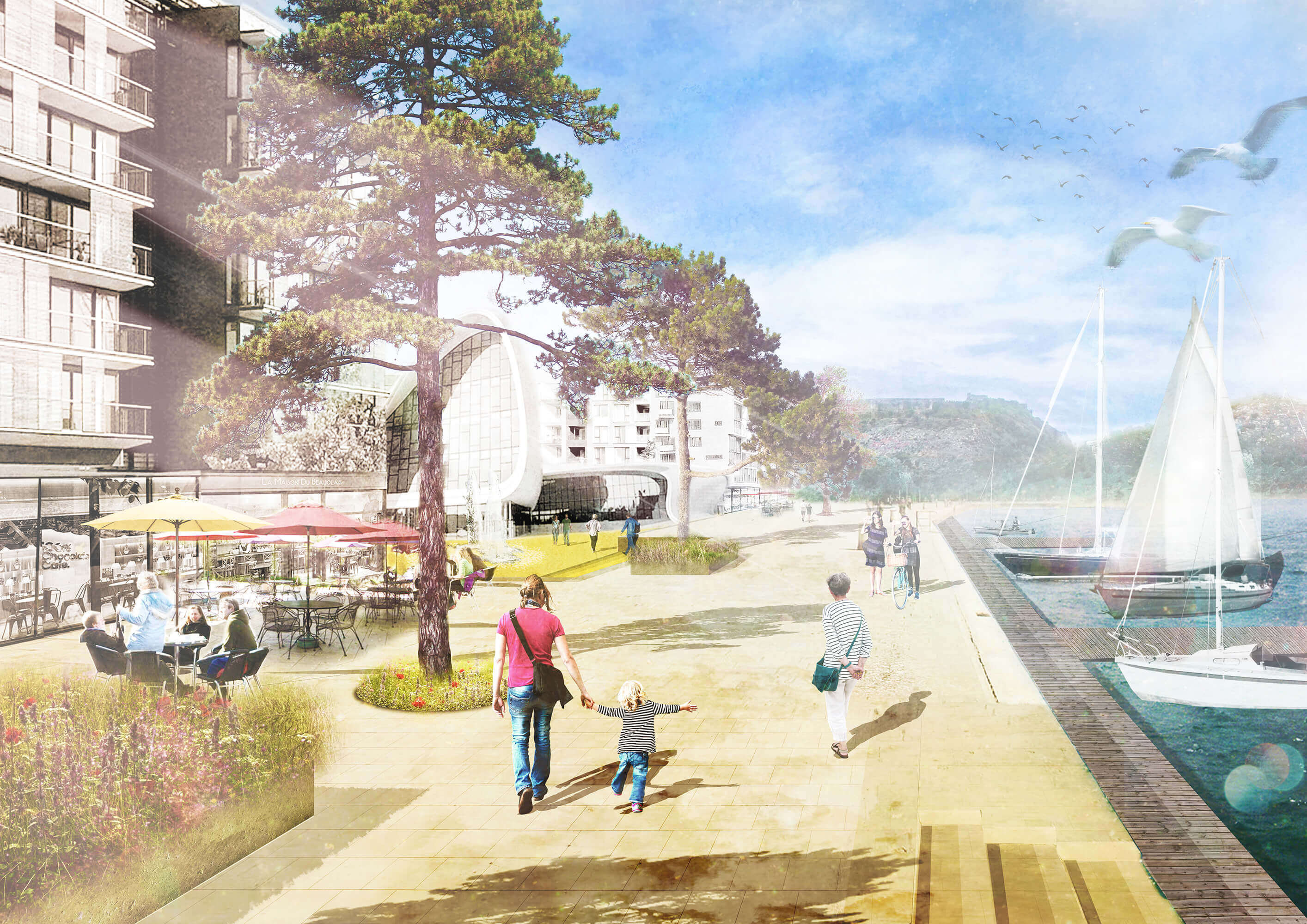
The strategic plan aims to avoid outrageous protection measures at the edges of the city, and connect resilient water management strategies to a sustainable urban development agenda. This enables Shkodra to turn its boundaries into front sides of the city, capitalizing the relation with the rivers and lake, using the existing qualities of these landscapes.


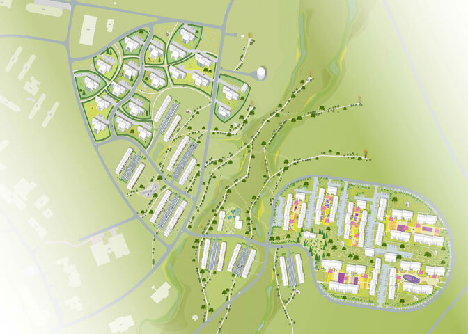
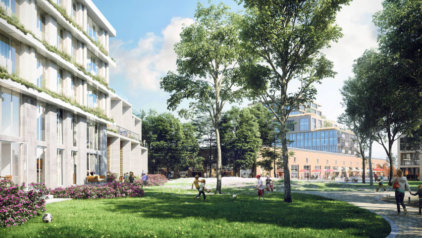
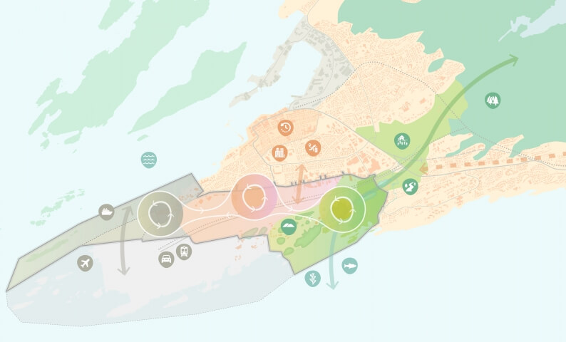
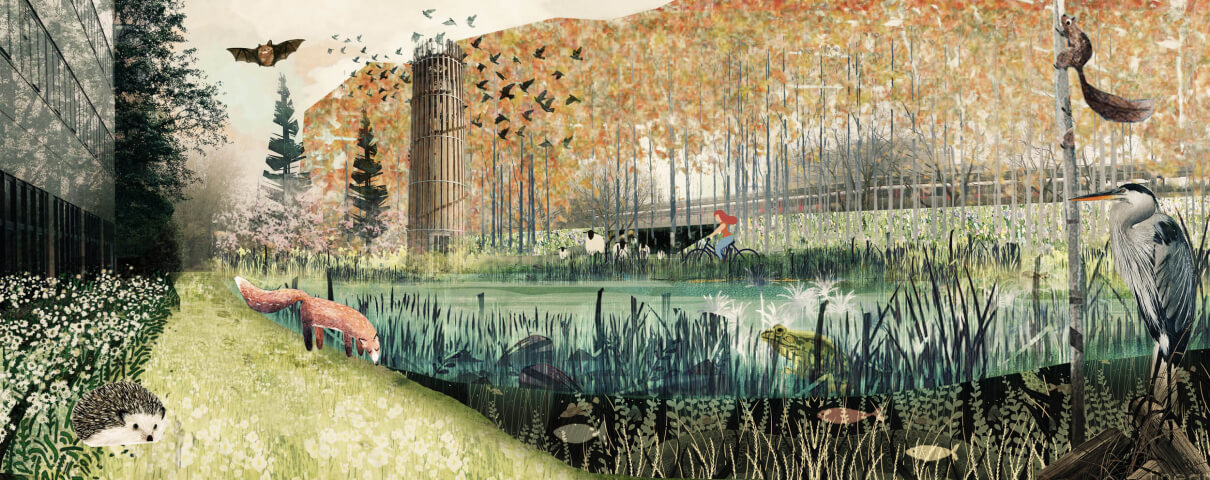
The relation with the water can be strengthened by creating zones and structures that both protect Shkodra from flooding, and improve the everyday life quality in the city. Four distinct zones can profitably be developed into multifunctional water landscapes. These four zones have different characters, resulting from a different relationship with the water.


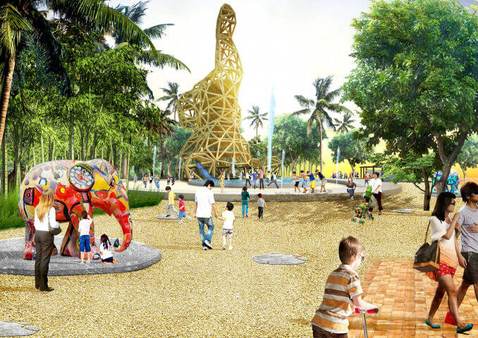
The ‘dike land’ is a flood zone outside of the dikes, developed to strengthen the relation with the Skadar Lake. The dike is connected to a circular network within the wetlands. Permanent developments are located behind the dike or on top of it, temporary functions are realized in the wetlands.


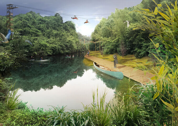
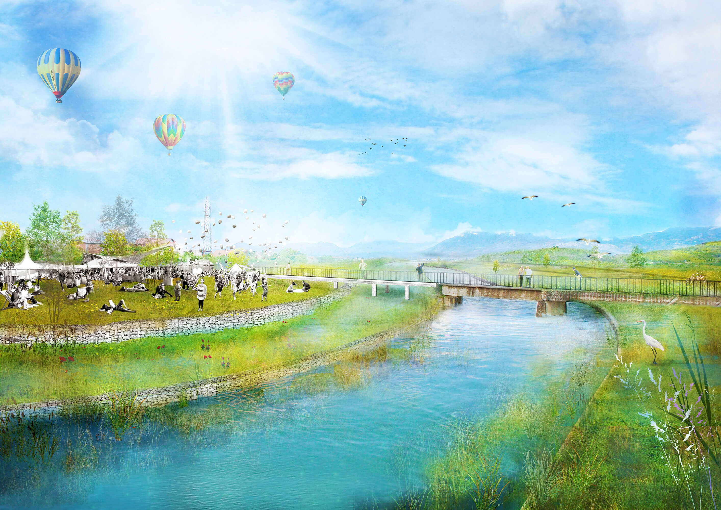
‘Riverland’ strengthens the relation with the Lumi Kir river, taking advantage of the large variability in water discharge levels of the river. Fix structures in the riverbed can guide the water at different levels, creating a zone for low, high and peak water levels. Each of the zones can host temporary functions and activities when the river is at a lower level.


The ‘cliffs’ are a collection of hotspots along the lake. The relation between the villages on the cliff and the lake is strengthened by adding new function on the level of the water, and establishing connecting to cover the height difference. This results into a rich collection of complementary programs, strengthening the recreational use of the lake and the overall environmental qualities of the district.

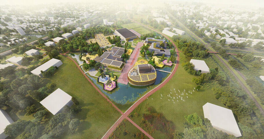
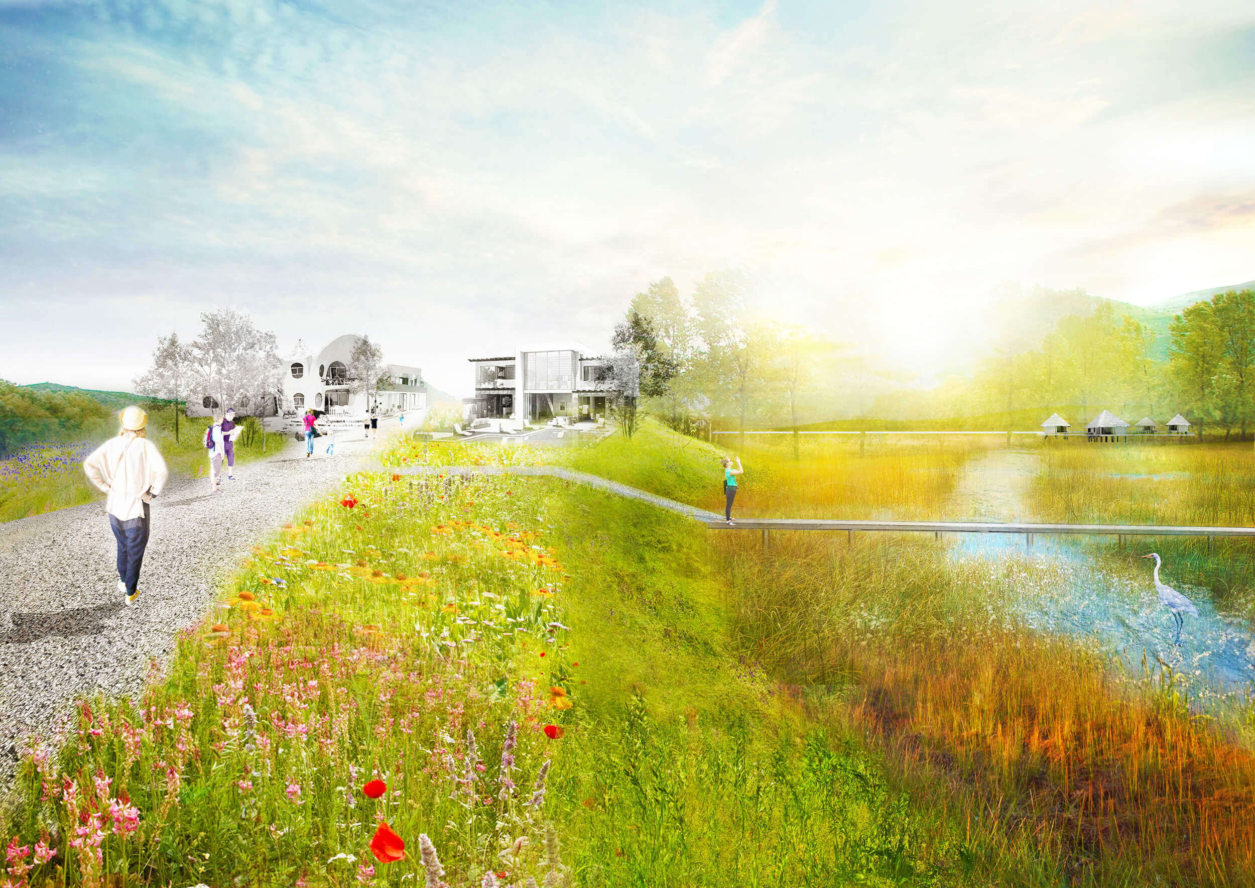
The ‘flooding area’ is located at the point where the Buna, Lumi Kir and Drini rivers meet. A by-pass canal to the Drini river is created to be used at peak moments. The surrounding areas function as flood zones, enlarging the capacity of the river in extreme situations, to avoid the flooding of the city. Recreational networks are accessible at low water, during peak floods the area can be used as a buffer zone.
Year
2016
Location
Shkodra, Albania
Type
Landscape
Client
Municipality of Shkodra
Size
2500 ha
Team & partners
Deborah Lambert
Michiel Van Driessche
Marnix Vink
Klaus-Peter Lorenz
Zofia Krzykawska
Polis University