Gardabaer
Connected Urban Morphology
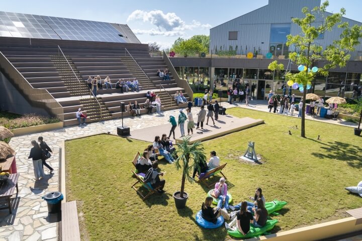
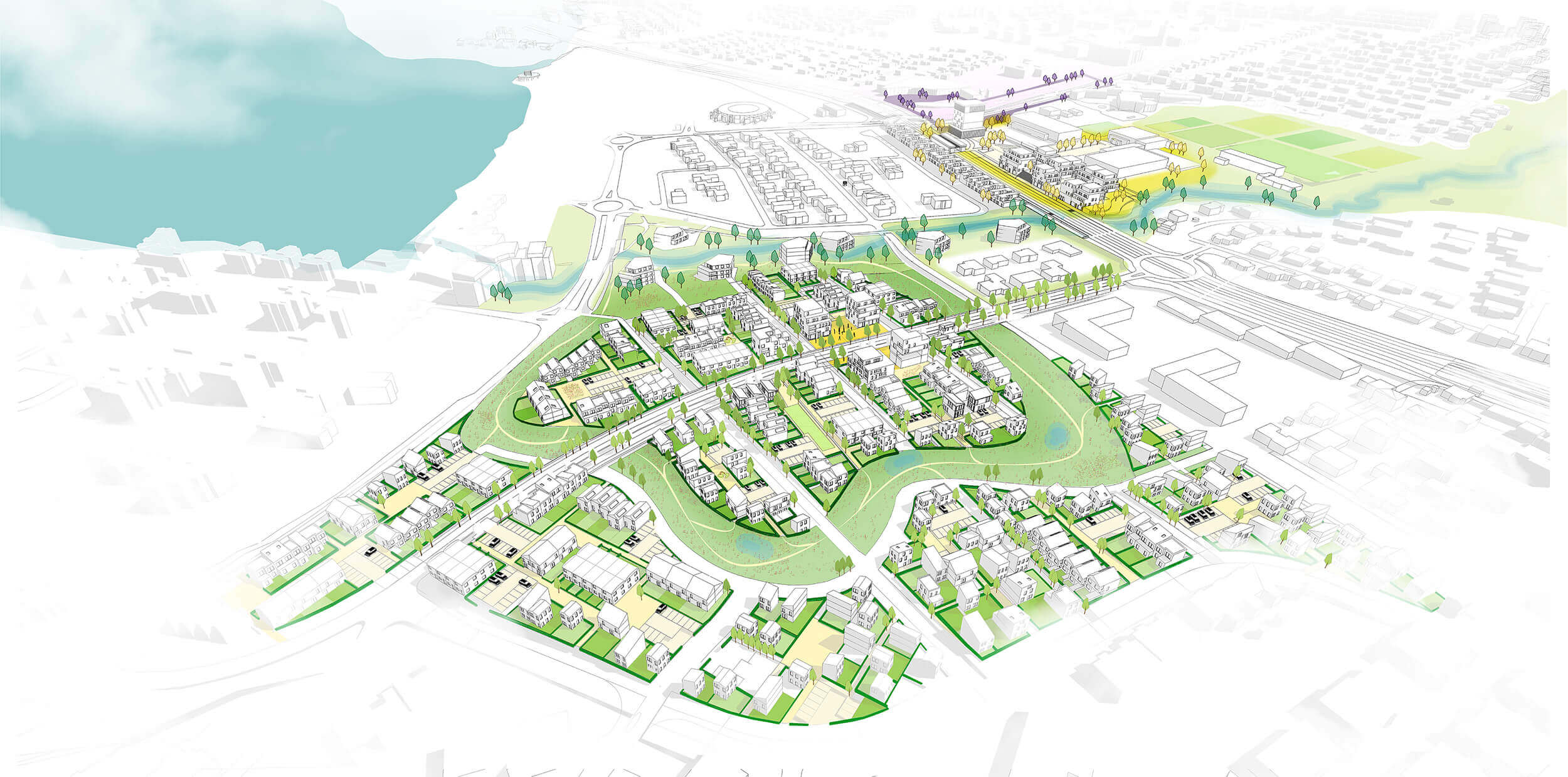
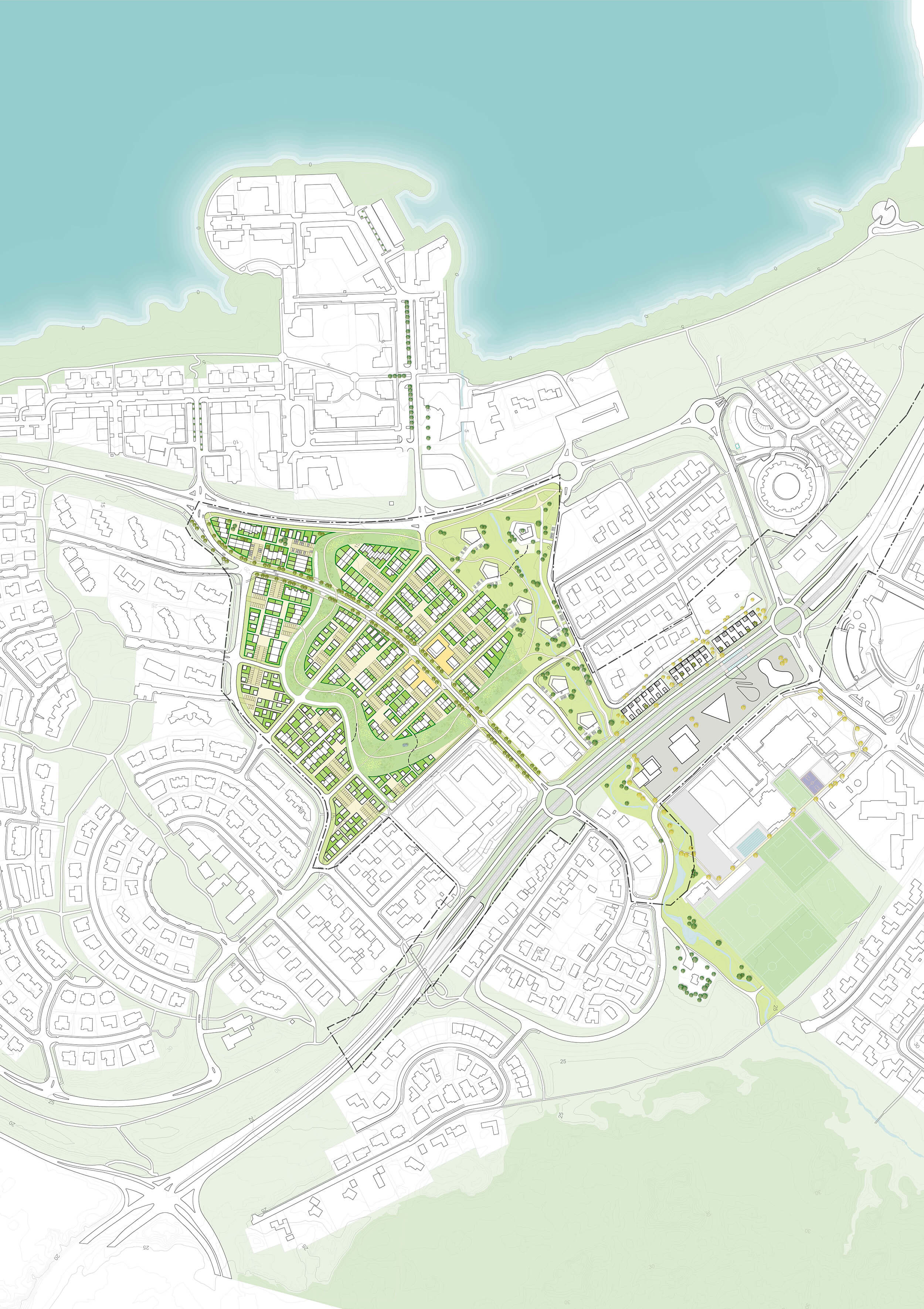
Lyngássvæðis is located within an extraordinary environment. Beautiful landscapes, mountains and sea, combined with a range of facilities, schools and commercial functions.
The best of the worlds of the Suburb and the City, our design creates a city with a human scale and livable streets, connected both with the landscape and with facilities and public transportation.
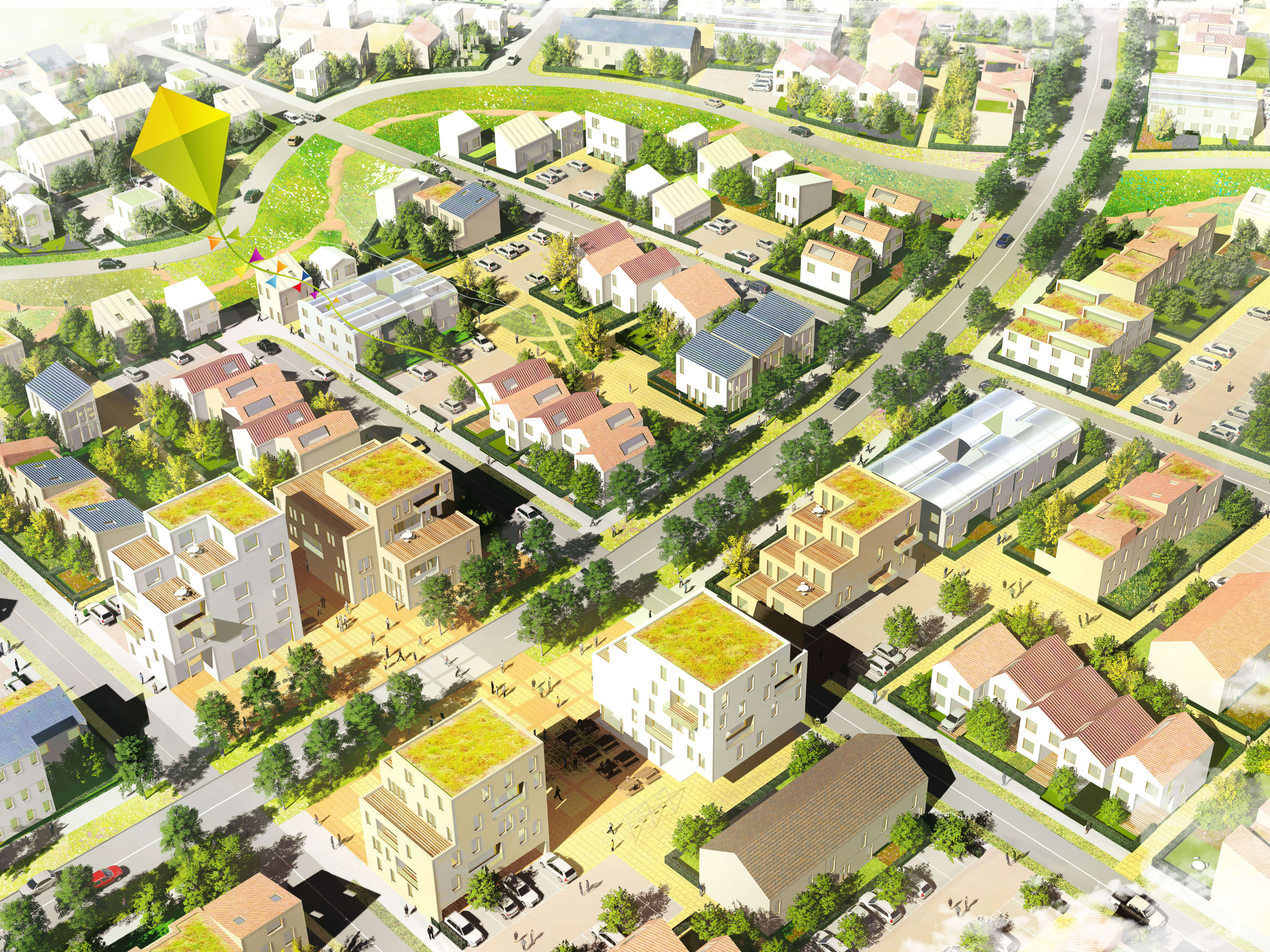
A framework has been developed for the site, consisting of a simple network of streets and a constellation of public space circuits. The new neighborhood connects all these qualities, and makes them accessible for new inhabitants. Moreover, it improves the cohesion between the surrounding neighborhoods, becoming the backbone for the entire district.
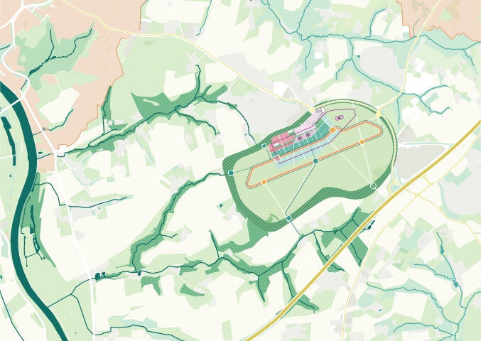
On a hill, facing the sea: the streets framework turns the topography into a characteristic identity carrier of this new hillside district. The main roads run along the height lines, allowing for easy accessibility. Connecting streets run up- or downhill, making it an everyday experience to face the hill. The framework expands into the surrounding road networks, stitching the site to the adjacent neighborhoods and infrastructure.
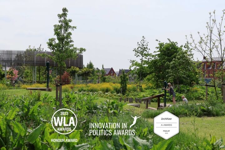
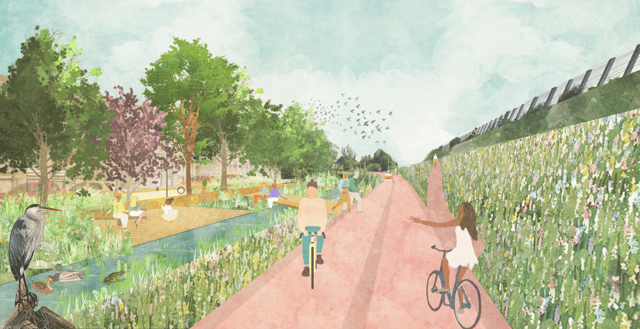
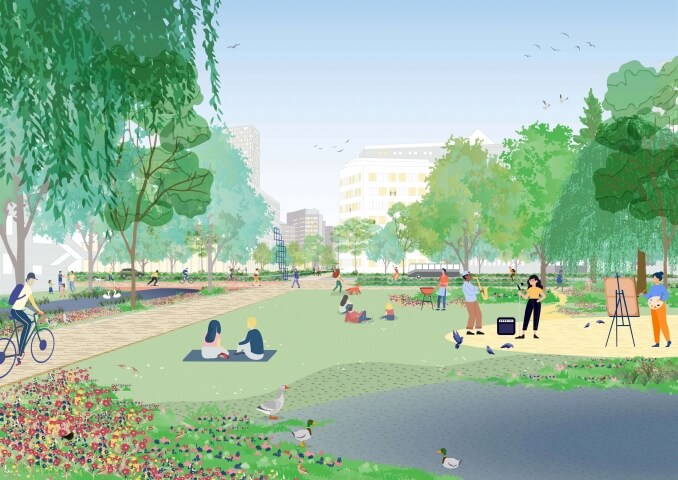
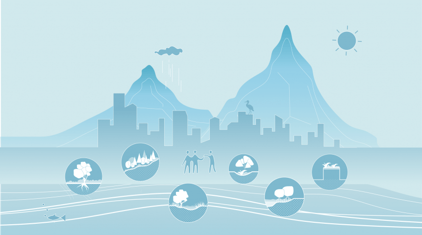
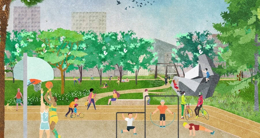
Green valley, connecting rings: the river connects the mountains to the sea, and the new neighborhood is organized around this river valley. The public space framework consists of several thematic circuits, or rings, for slow traffic. The ‘Green Ring’ stitches Lyngássvæðis to the river valley, while creating a green network in the neighborhood. The ring gets an extensive character: a flowering meadow with native trees and shrubs improves the urban ecology and gives all residents an experience of living in close proximity to the landscape, while providing ample space for children to roam and play. The ‘Green Circle’ connects to the ‘Facilities Circle’ and the ‘Cultural Circle’. The Facilities circle integrates the school, swimming pool and sport club; the ‘Cultural Circle’ shops, the museum and bank. All together they create a diverse network of circuits, potentially the new backbone of Gardabaer; which will be enriched by a bus stop on the new high speed network between the airport and Reykjavik center.
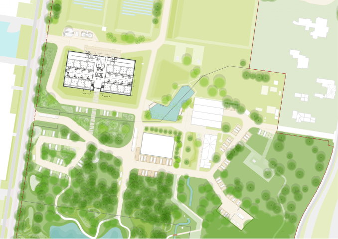
Connecting community: the neighborhoods are set up with the idea that they can be dense, in light of their connection to landscape and parks. The various patches in the flexible framework can be developed with various densities. The proposal sets out one central area with a higher density; a central communal place to be, around which apartment blocks are positioned. In the park along the stream, chunky apartment volumes are positioned in a natural setting.

Year
2016
Location
Gardabaer, Iceland
Type
Masterplan, Public Space
Client
Municipality of Gardabaer
Size
30 ha
Team & partners
Deborah Lambert
Michiel Van Driessche
Marnix Vink
Laura Spenkelink
Corinna Wassermann
Zofia Krzykawska
Willemijn van Manen
Jvantspijker
VSO