Isle of Dikes
A historic landscape of the future
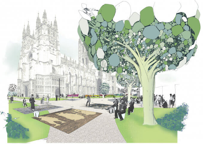
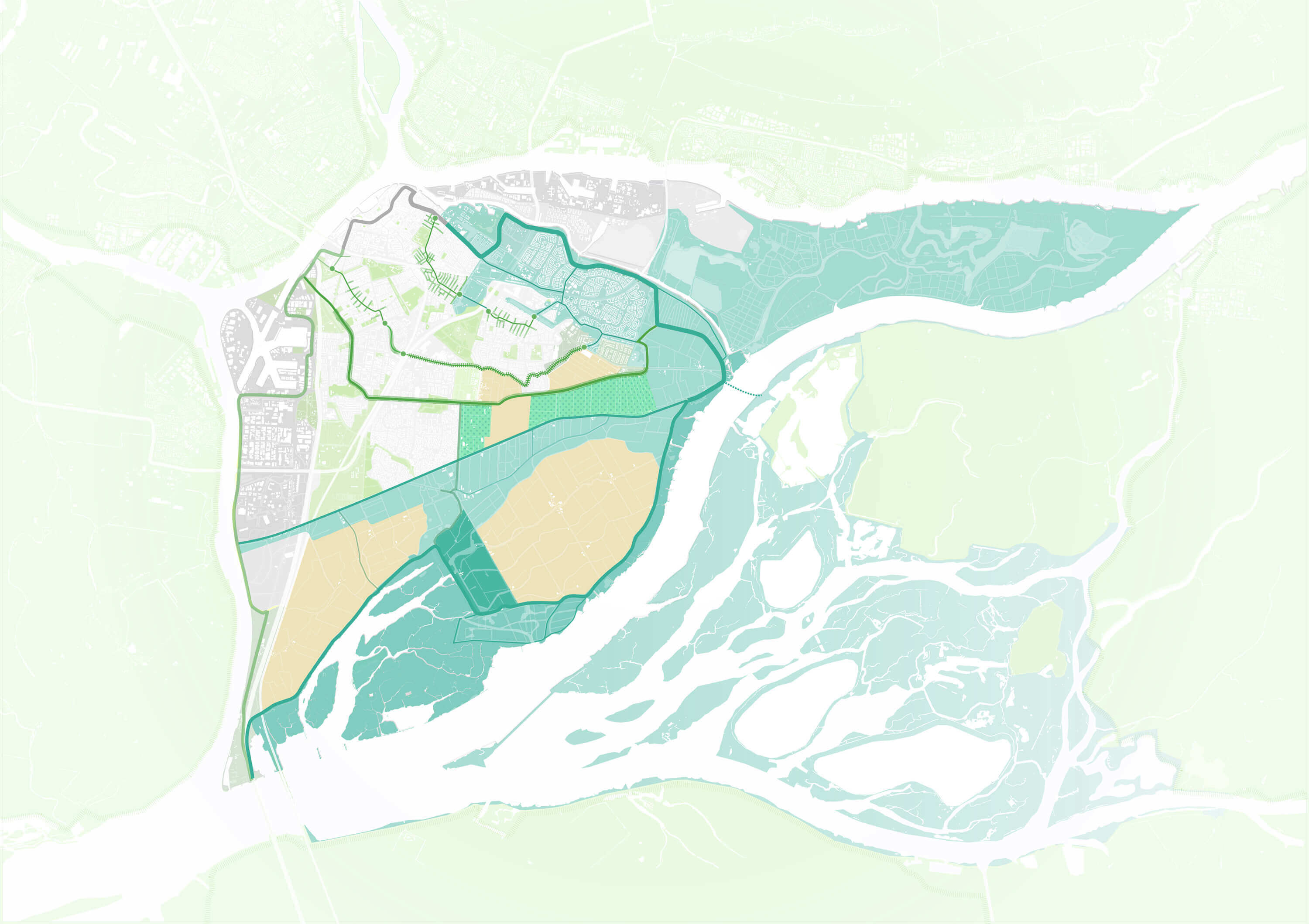
Dordrecht is the oldest city in the Netherlands. Located in a wetland area, where several rivers merge, the Island of Dordrecht is surrounded and veined with a dense network of dikes. As in many other places, a lot of the small inner dikes lost their function because the outer dikes scaled up. Felixx turned the old network of disused dikes into a new climate adaptive living environment.
Cultural history and climate adaptation
Climate change is transforming our environment. While reengineering land to prepare for future risks, it is crucial to keep building environments in which people feel comfortable besides being protected and safe. To achieve this, integrating cultural-historical values with new spatial structures is key. Existing environments are familiar and landscapes have a certain value for their users. Carefully organizing a transformation that combines these existing values with new elements, makes the step towards the landscape of the future a lot easier to take. The existing comfort is retained, protection against new risks is added and integrated. This increases support at the start and speeds up the transition that follows.

Dikes
The Dutch country is organised by functional structures that simultaneously give a specific character to each landscape. Dikes are probably the most mythical and striking element of this culture. They were the borders around areas that were drained or reclaimed and were often planted, cultivated or built. A diverse and relatively small-scale network of earthworks grew, providing identity to urbanized and rural areas. During recent history, new big flood defenses have gradually taken over the role of the small dikes. To a large extent, they have become sheer aesthetic elements, and often disappear when urban and rural areas are transformed. The Dutch landscape risks to lose one of its strongest identity carriers. Can we reactivate these heroic structures and preserve their existence? Felixx explored the potential of the old dikes, as a contemporary framework for a climate adaptive landscape.

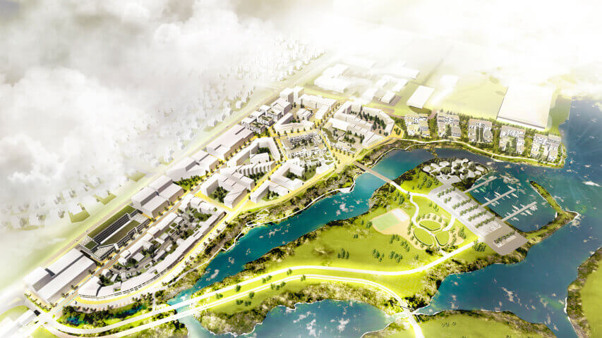
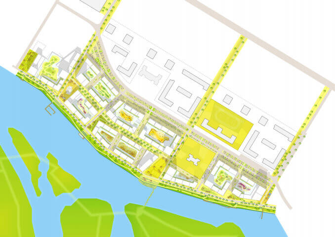
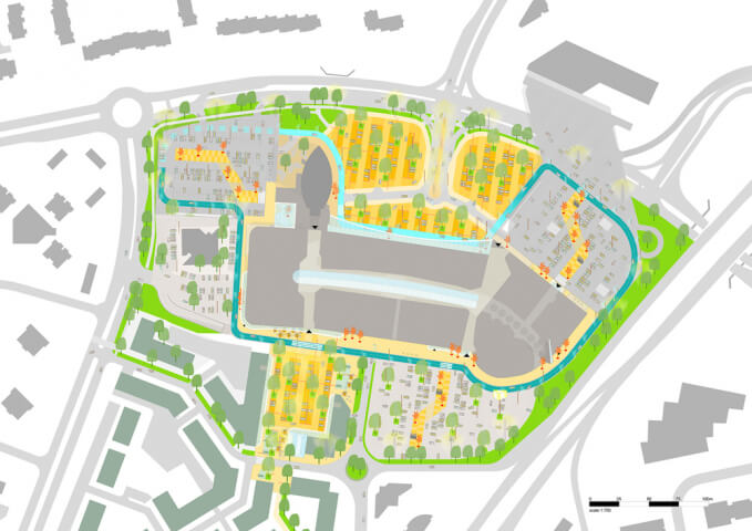
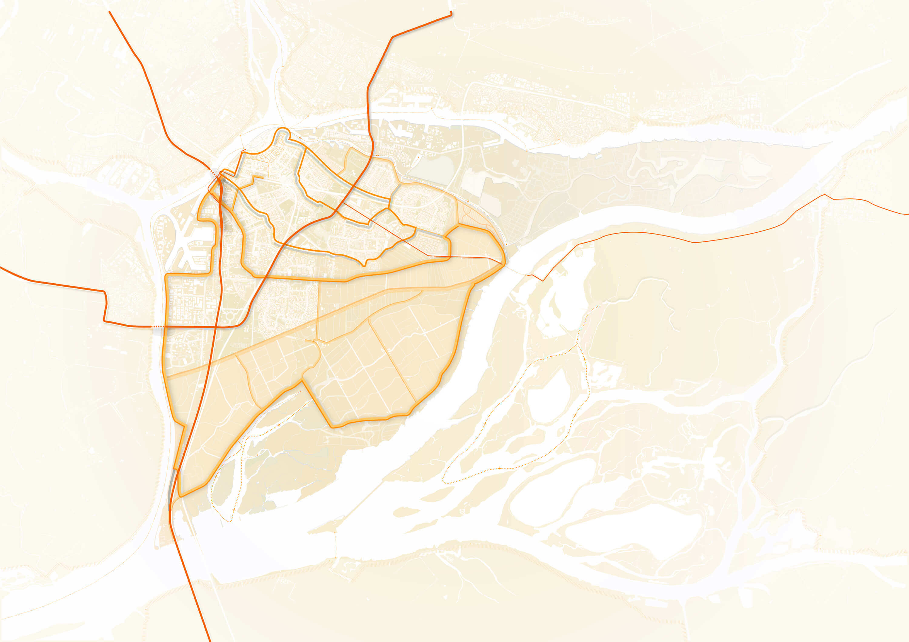
Dordrecht
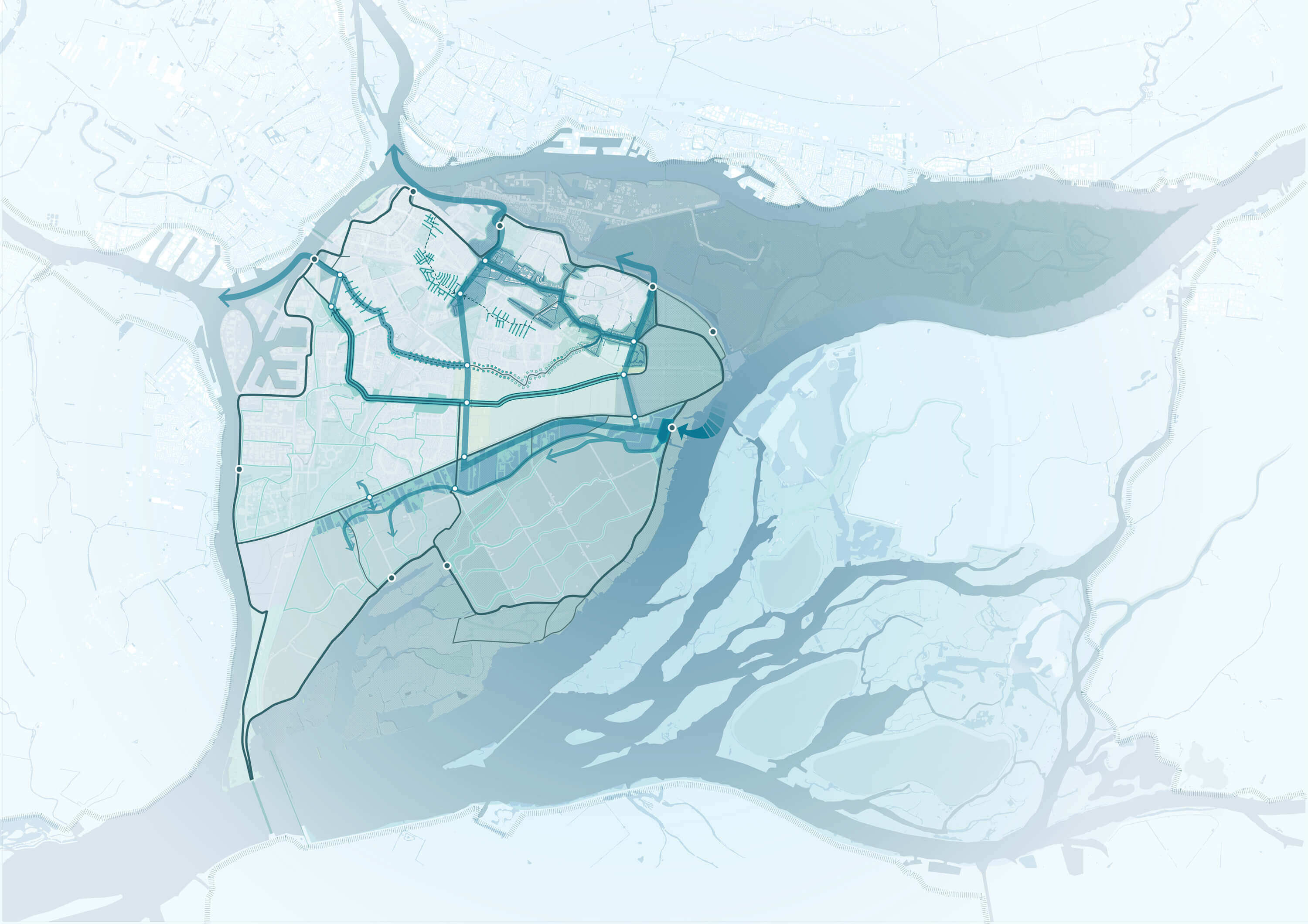
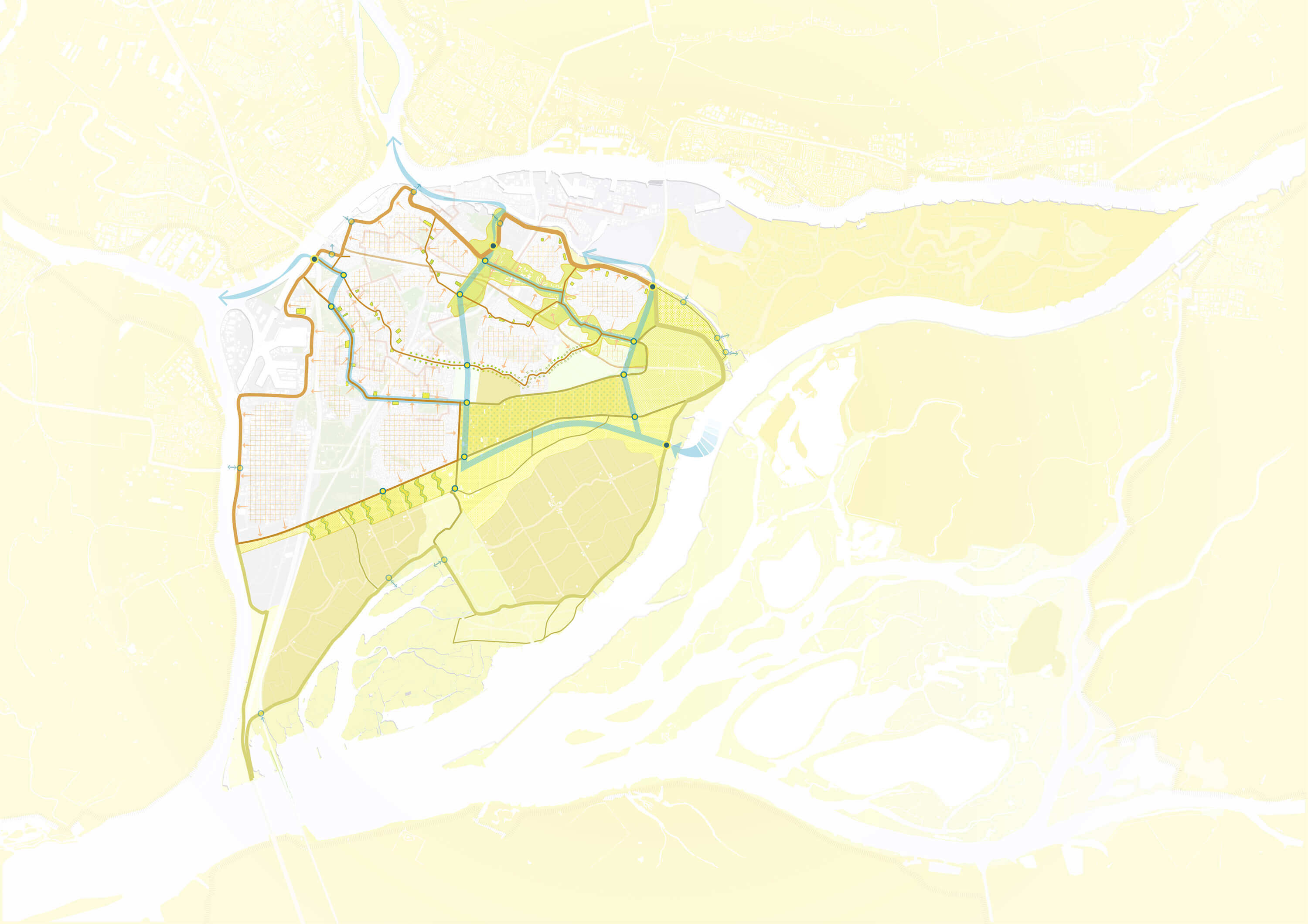
The transformation of Dordrecht into a climate adaptive town is explored through 4 themes with their individual agenda’s: water, green, program and infrastructure. For each theme, the agendas are projected on the historical layout of the dikes. This results into 3 potential models for a climate adaptive Dordrecht. In each model, all agendas are realised, taking the dikes as a backbone for transformation.
slider
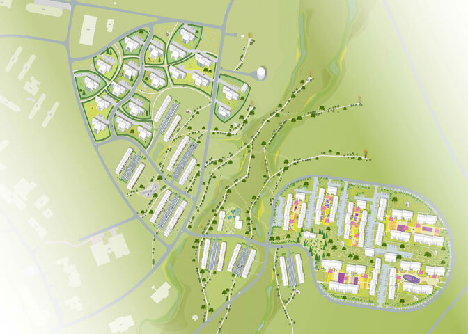
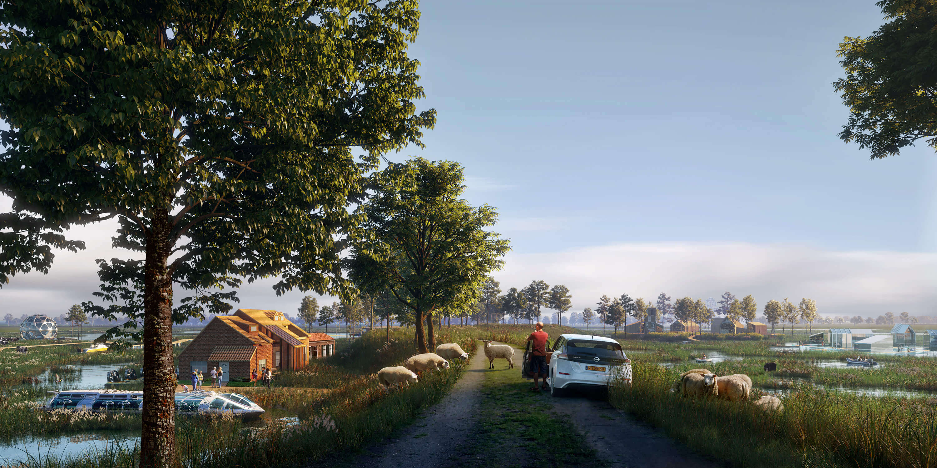
Model 1: National Park ‘Biesbosch’

The Biesbosch is an important nature reserve, adjacent to Dordrecht. Turning the dikes into ecological corridors, integrates the Island of Dordrecht in the Biesbosch National Park. Natural realms are extended into the rural and urban areas of the island, providing space for new extensive housing and recreational functions.

A dynamic water system along the dikes improves the water quality and generates a diverse set of biotopes. The ecozones integrate traffic routes for pedestrians, bikes and boats and connect the city center to the heart of the Biesbosch.


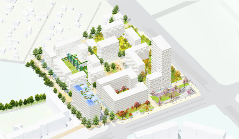
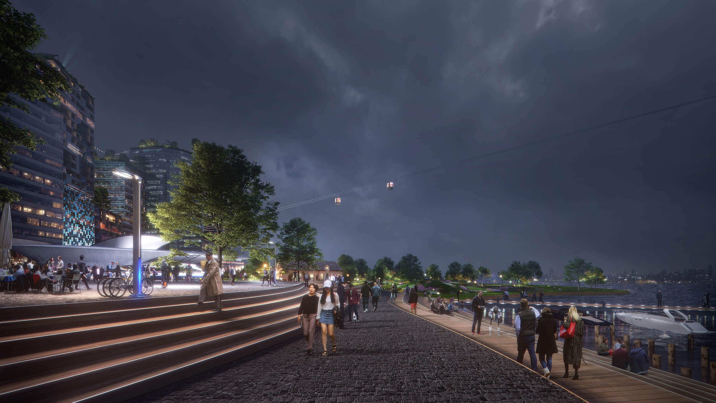
Model 2: Metropolitan Network ‘Randstad’

The Randstad is a metropolitan area, spanned between Amsterdam, Rotterdam, The Hague and Utrecht, connecting a varied network of mid-sized towns. Turning the dikes into a linear metropolitan park, could strengthen Dordrecht as the most southern city within this network. Areas around the dikes are densified and programmed with new recreational and residential functions.

New satellite towns arise on the outer edge of the island, as fortresses marking the border with the Biesbosch. The dikes are designed as public spaces and loaded with routes, linking the new enclaves to the center of Dordrecht and the rest of the Randstad.


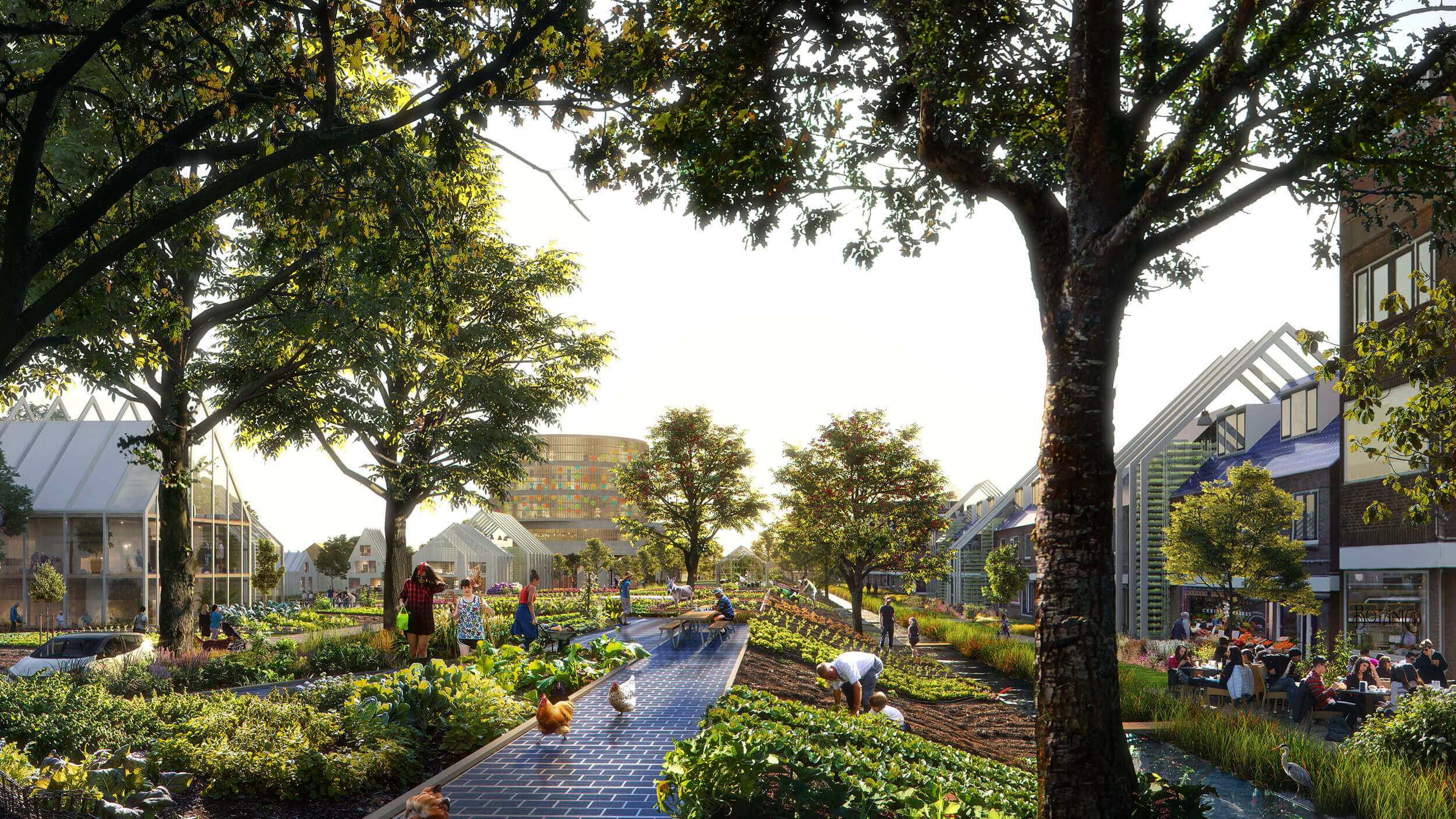
Model 3: Self-Sufficient Island ‘Dordrecht’

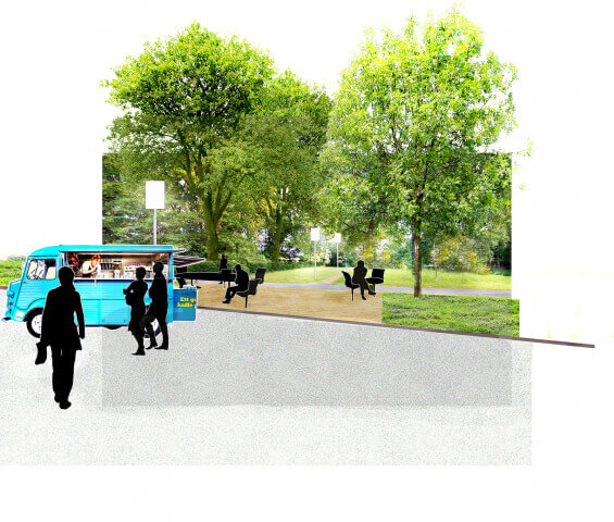
The Island of Dordrecht is surrounded by rivers. Transforming the dikes into diverse production grounds, makes them the backbone of Dordrecht as a self-sufficient community. They integrate food production, offer space to harvest and reuse rainwater, and stimulate the generation, storage and sharing of energy.

Car infrastructure is reduced, and slow traffic connections are reinforced. To realize a circular way of living by reusing materials and commodities, the contact between residents is encouraged. The dikes become important social infrastructures by offering space for urban farming, and realizing new services and facilities along them, such as schools, elderly homes and hospitals.


Lessons
The research on the Island of Dordrecht has provided thematic explorations and development models for a future-proof, climate adaptive city. Four general lessons can be learned:
- Determining the relevance of historical structures in future challenges should become a part of the valuation of cultural heritage.
- The historical value of landscapes is defined by an eclectic combination of different time layers, not by isolating or favouring one specific timeframe. It is key to research the cohesion between these layers, to understand their current functioning as an integrated system.
- Climate adaptation is not a straight forward task with a singular answer. It consists of various aspects that require careful alignment and prioritization.
- Climate adaptation is not just a technical, but also a design task. Technical optimisations can be integrated and realized in different ways, generating very different environments.
Felixx’ vision is part of the ‘Urban Planning for Extremes’ initiative, organised by the Dutch National Service for Cultural Heritage and the Creative Industries Fund. The initiative aims to develop exemplary projects, showcasing an integral approach to the changing climate challenges in relation to existing cultural heritage structures. Felixx composed a team with IHE Delft Institute for Water Education and the municipality of Dordrecht.

Year
2017 - 2019
Location
Dordrecht, The Netherlands
Type
Research
Client
Dutch National Service for Cultural Heritage
Creative Industries Fund
Publications
World Landscape Architect
De Architect
Architectenweb
Archiscene
Canhquan
CGconcept
iArch
Rijksdienst Cultureel Erfgoed
De Openbare Ruimte
Team & partners
Michiel Van Driessche
Marnix Vink
Deborah Lambert
Zofia Krzykawska
Steven Broekhof
Fanny Genti
Tim Beumer
Fangfei Liu
Elan Redekop van der Meulen
Ekaterina Andrushenko
Laura Coertjens
IHE Delft Institute for Water Education:
William Veerbeek
Berry Gersonius
Municipality of Dordrecht:
Ellen Kelder
Jacqueline Hoevenberg
Edwin van Son
Marit Janse
Visuals ©Plomp