
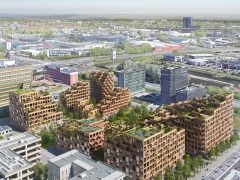
New Space - Design Guideline Liveability of Public Space, Groningen
MANUAL FOR AN INCLUSIVE PUBLIC REALM, GRONINGEN MUNICIPALITY (NL)
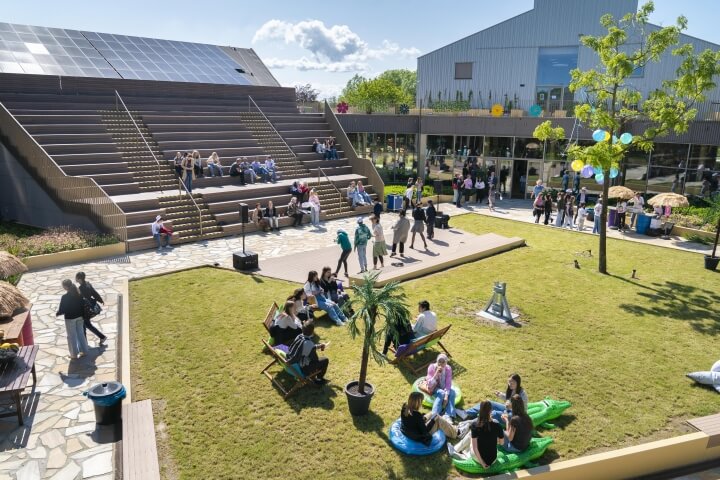
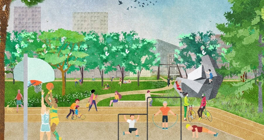
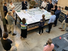
Commissioned by the municipality of Groningen, Felixx worked together with Goudappel, Stipo & Marco te Brömmelstroet on the ‘Leidraad Openbare Ruimte’ (Guide for the Public Space) of Groningen. The Guide is an inspiration document for a new kind of public space with less space for parked cars and bicycles and more space for green, sports, play and social interaction.
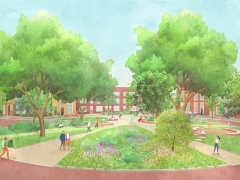
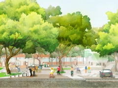
STREET AS STARTING POINT
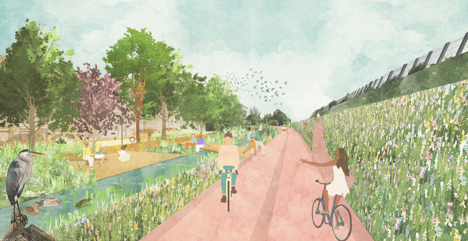
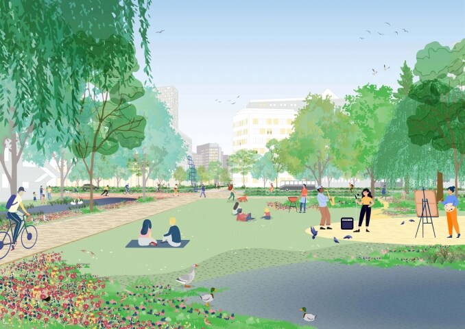
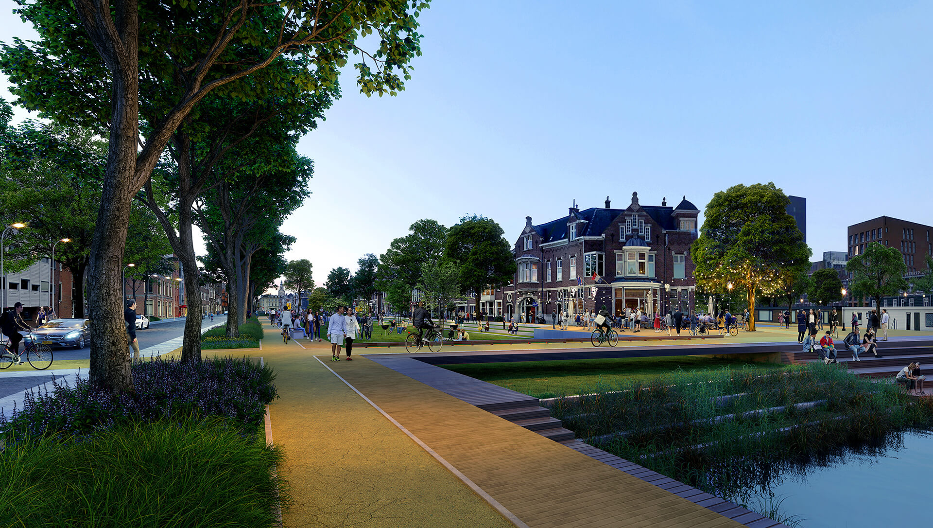
The starting point of the Guide is the street. That is where the human scale is most prevalent. In order to design streets for people, it is important to rethink the street as “a shared space,” a public space for people rather than a mere functional connection from point A to B.
 Later
Later
 Soon
Soon
 Now
Now
Ten Dimensions
The Guide proposes a design method in which mobility is no longer normative but where accessibility, safety, perception, health, social interaction, ecology, climate adaptation, economics and cultural history together make up the street. By naming these ten dimensions at the outset, a new balance between all these interests is created.
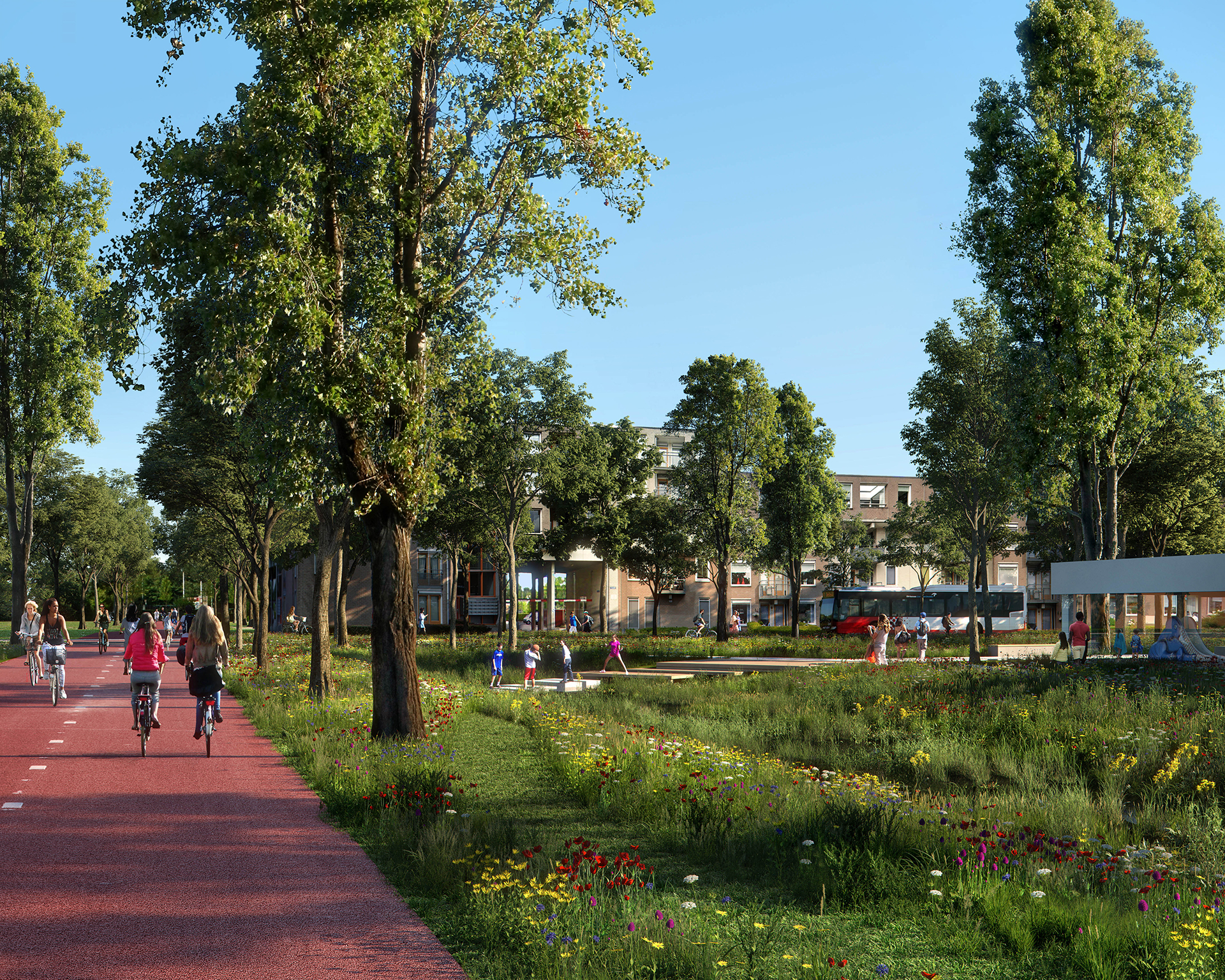
Street typologies
A selection of fourteen street typologies has been developed that together represent the entire street network of the municipality of Groningen. This enables us to position each street within the urban fabric.
Now, Soon and Later
In order to visualize the spatial tasks of the future street, street analyses, inventories and inspirational images are made of the current situation, the new street after a redevelopment and a possible development of the public street domain in a further future. We call these stages Now, Soon and Later.
 Later
Later
 Soon
Soon
 Now
Now
Street profile of Bedumerstraat with graph of the ten dimensions. Now, soon & later.
Iconic places
The ambitions of the Groningen municipality require a long-term change of mentality. The Guide offers an attractive future for Groningen, the city and the village centers. Something to look forward to. Therefore, iconic places have been selected in the Guide where a future dream is visualized. The ten dimensions of the street have been applied to three characteristic Groningen places with corresponding street typologies. Each place represents a specific identity and role within the planning context of the city in the past, the now, soon and later.
Inspirational image of the Hogeweg © Plomp
On December 22nd, 2021, the City Council approved the Guide for reorganizing mobility and public space throughout Groningen. The document shows which dimensions are necessary for a high-quality public space and helps the conversation with inhabitants about the opportunities for a better quality of life in the streets, the neighborhoods, the city and villages.
A copy of the intergral Guide can be downloaded as a pdf document here.
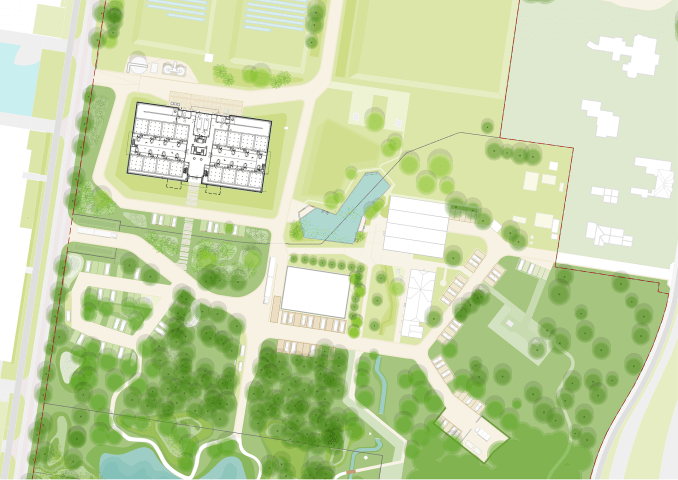
 Mobility transformation of Haarlem Europaweg
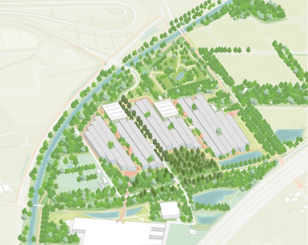
 Nature Based City of Almere
 Felixx at Duurzaamste Kilometer congress
 Vief Kwartier
 In conversation with demissionary minister Hugo de Jonge
 The H.W. Mesdagplein Transformation
 REWATCH: Felixx’ talk at Pakhuis De Zwijger
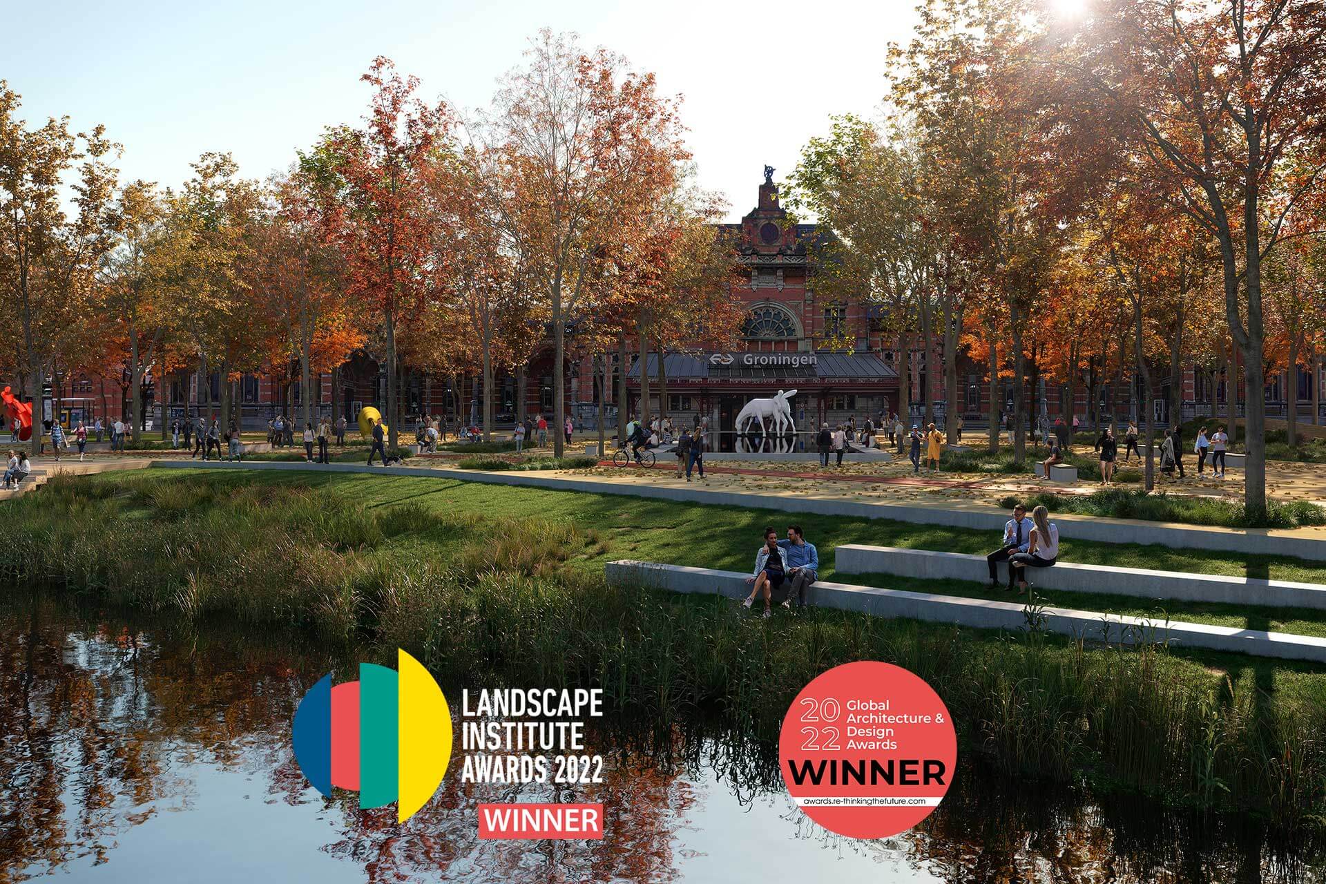
 Landscape Institute Award for New Space
 GADA Award for Groningen
Year
2020 - 2021
Location
Groningen
Type
Research, Masterplan, Infrastructure, Landscape, Public Space
Client
Groningen municipality
Size
19800 ha
Awards
2022 Global Architecture & Design Award [winner]
2022 LI Award [winner]
Publications
Afscheid van de Autologica - Blauwe Kamer E-zine
Archy.com
Architecturelist.com
Architectenweb
Blauwe Kamer
Bouw in de buurt - College van Rijksadviseurs
Dagblad van het Noorden
DesignVerse
Groninger Internet Courant
"Hoe langzaam is 30 kilometer per uur eigenlijk? - NRC
Mooool
Afscheid van de Autologica - Blauwe Kamer E-zine
Archy.com
Architecturelist.com
Architectenweb
World Landscape Architect
Dagblad van het Noorden
Blauwe Kamer
Mooool
The Guardian
World Landscape Architect
Platform Gras
Team & partners
Michiel Van Driessche
John de Groot
Elan Redekop van der Meulen
Cherk Ga Leung
Shuangyun Chen
Goudappel
Stipo
Universiteit van Amsterdam